(07) 4658 0600

Things to know before you clear vegetation in Western Queensland
Aug 15, 2025News, Resources

When to clear, or not clear?

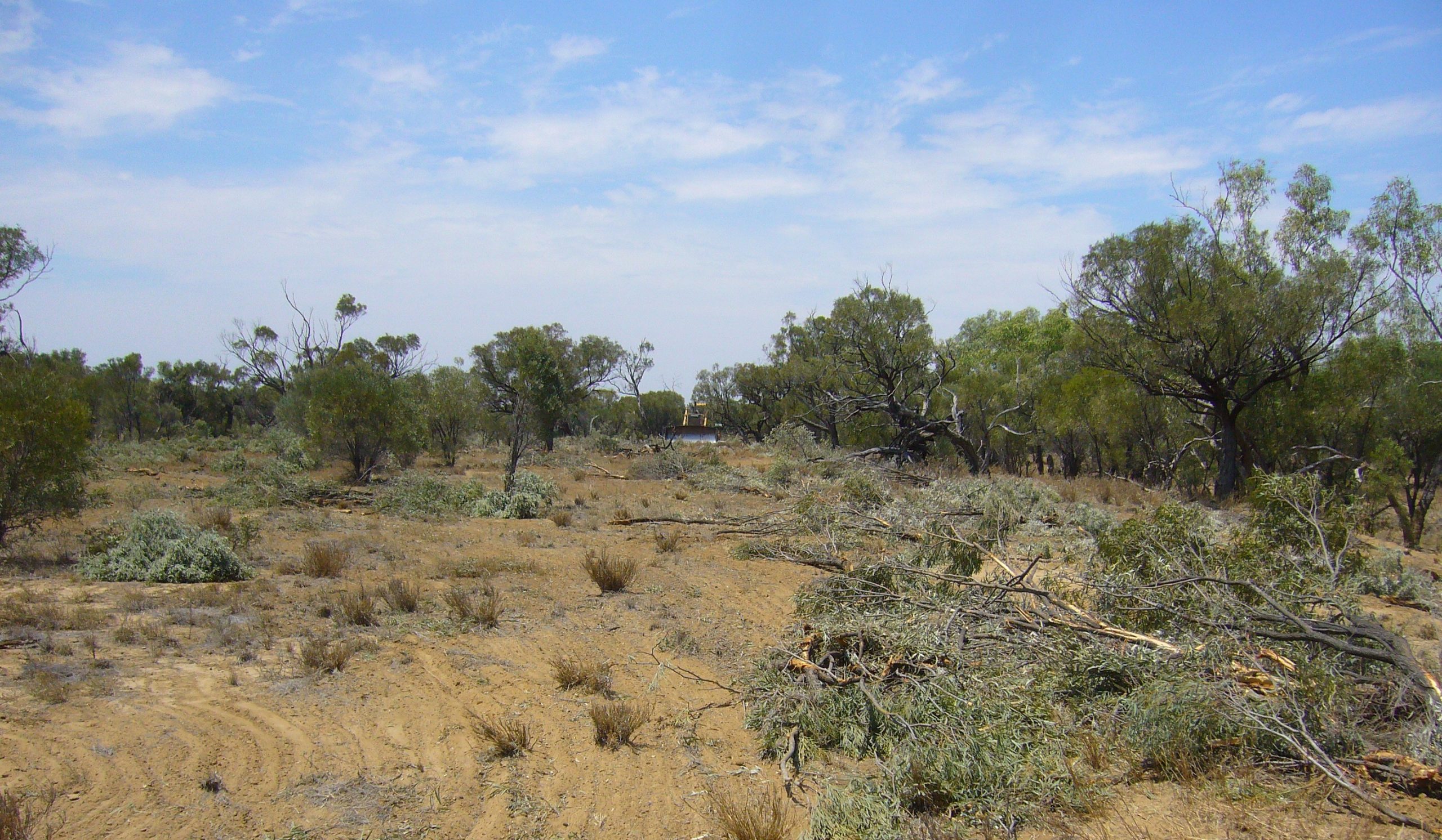
Thinking of clearing vegetation on your property? Before you start, it’s crucial to understand Queensland’s vegetation management rules.

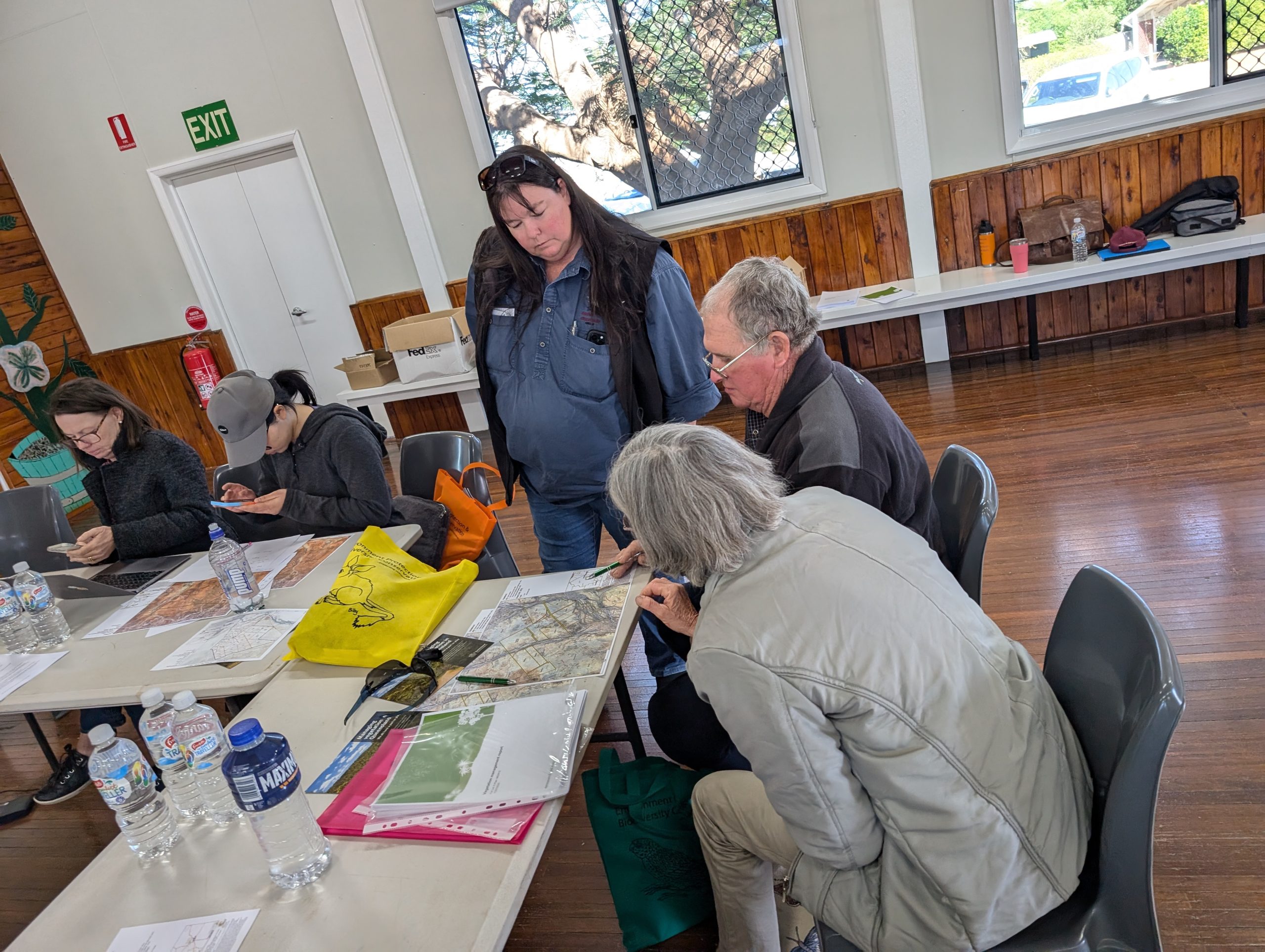
Recently, staff from the Department of Natural Resources visited several towns in Western Queensland to provide specific vegetation support to landholders.

They explained some of the processes involved in getting approval to clear encroachment (e.g. gidyea) or regrowth, where to access free maps and where to access advice under the Vegetation Management Codes in Queensland.

In summary:

  • You can request a free vegetation map of your property or access online vegetation reports using Queensland Globe.
  • Always check your vegetation mapping and regional ecosystems – some zones have restrictions, while zones such as Category X have no state-level restrictions.
  • You can conduct clearing without approval in certain situations, such as to manage weeds, manage regrowth, manage encroachment or manage fire risk.
  • However, you must ensure your clearing is within legal limits and ecosystem boundaries, as there are usually restrictions on how much you can clear.

Things to remember before you clear

  1. Before undertaking vegetation clearing, you can contact the Veg Hub 13 58 34 or email vegetation@resources.qld.gov.au to get specific advice on what you can and can’t clear.
  2. Always check your vegetation mapping and regional ecosystems, as different zones have different restrictions and management requirements.
  3. Request a free vegetation map of your property or access online vegetation reports using Queensland Globe.
  4. Always provide clear instructions to the person undertaking the clearing activity and remember to keep records of clearing activities such as photos and diary notes.

Thanks to Karmen, Jules and Susie from the Queensland Government’s Veg Hub (13 58 34) who came along to give presentations.

Any landholders can call the Veg Hub between 9am and 4pm weekdays, and request to speak with any of these ladies to discuss specific vege-related questions

This page offers general information only. For up-to-date and specific advice, you should contact Veg Hub 13 58 34 or email vegetation@nrmmrrd.qld.gov.au.
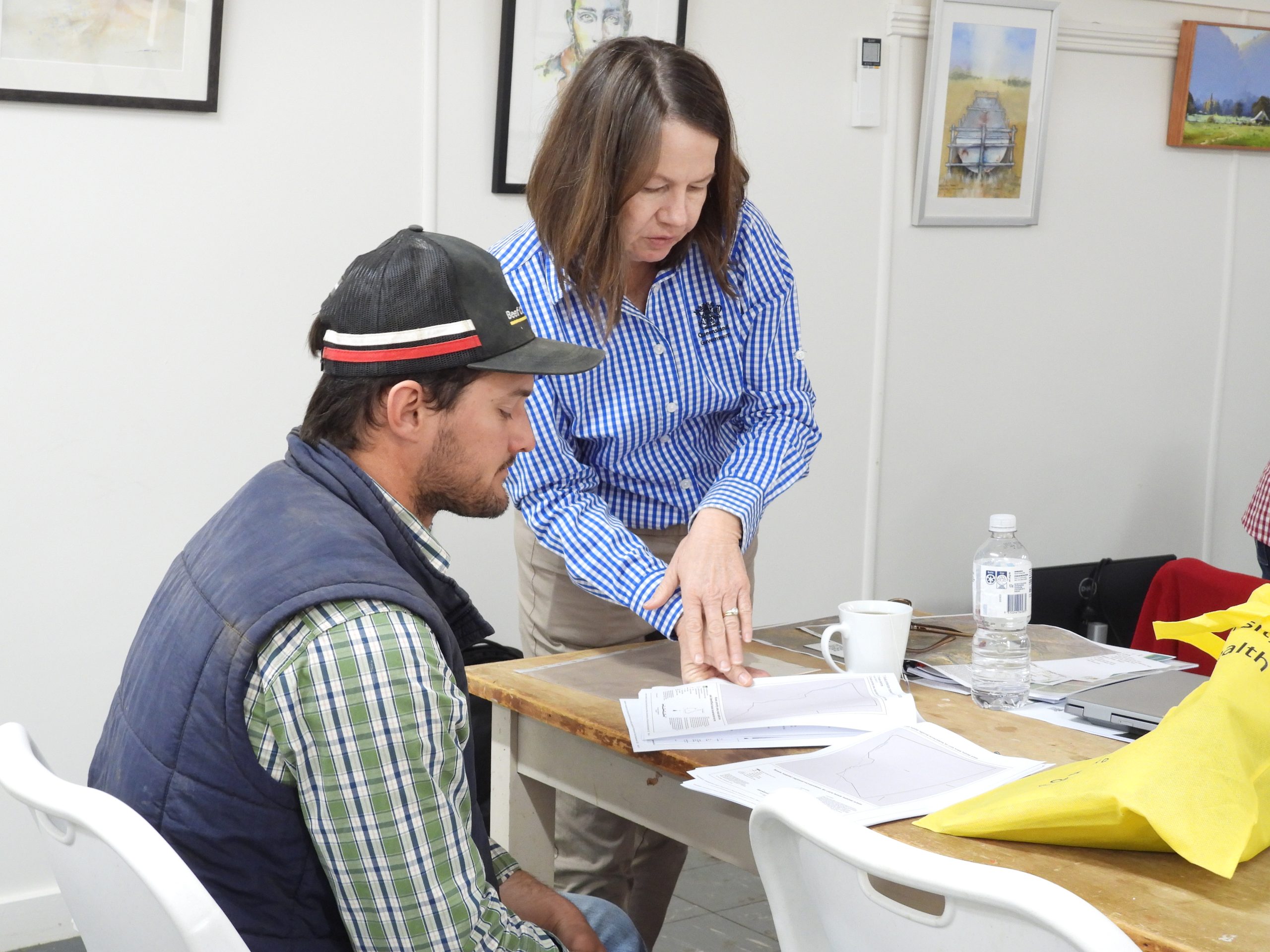
A women in a Queensland Government shirt helps a farmer holding papers understand their vegetation management codes.
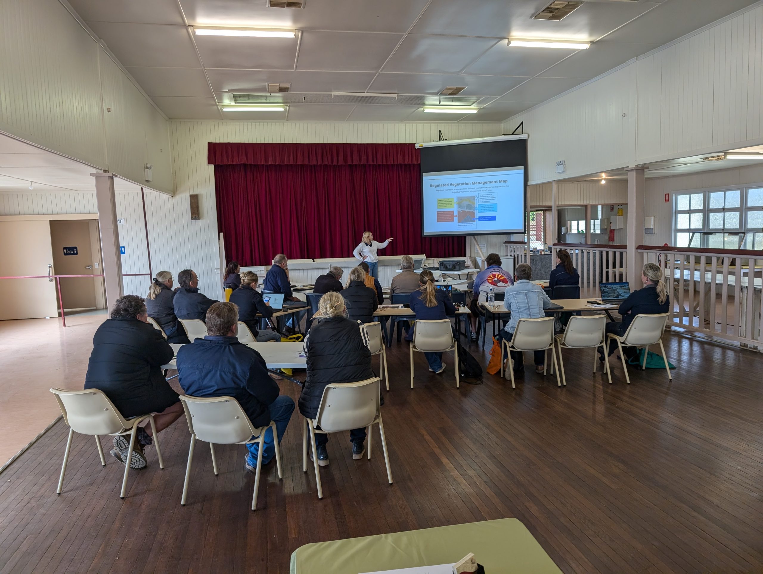
A crowd of landholders and contractors attend a workshop in an old-style town hall. On the project screen is a slide titled "Regulated Vegetation Map".
A DCQ staff member assists an older landholder couple who are holding several maps of their property.

Emergency Plan

The BANC Emergency Preparedness and Response Plan outlines preparedness response and recovery actions for each asset with the aim of reducing the impact of catastrophic events.

Watertight

The Queensland Government has established the WaterTight program to be carried out by the Natural Resource Management groups

MAKING THE LAND MORE PRODUCTIVE: REHABILITATION AFTER DROUGHT

Controlling erosion and pasture rehabilitation: Daryl Hill gives practical demonstrations in workshops across the DCQ Region

Prickly Acacia

Funded by the Commonwealth Government, the project aims to improve property planning to ensure that the current threats to springs are reduced.

LANDCARE

Funded through the Australian Government’s National Landcare Program, the SAF is a trusted partner providing critical advice and extension services

KEEPING UP WITH THE CAMELIDS

After fitting our camel herd with GPS ear tags, results have begun to trickle in.

THORNVILLE QUANDARY

When pastures don’t return as expected.

Waddy Trees

Occurring in isolated populations on the fringe of the Simpson Desert in inland Australia, the Waddi tree is one of the country’s rarest trees.

IS DIESEL BECOMING A THING OF THE PAST?

The increased cost of diesel, along with its health and environmental issues, has opened the door for a new kind of herbicide.

THIS IS A RIVER

A flood of the channels of the Hamilton River, sprawling kilometres wide.

Free property mapping workshop using Avenza Maps – no expertise required

Learn how to use the Avenza Maps app to navigate, collect data and map your property all without mobile reception.

Watertight

The Queensland Government has established the WaterTight program to be carried out by the Natural Resource Management groups

HEAT

An environmental project focused on high value areas, properties that surround National Parks, or refugia that support crucial species migration in a changing climate.

Prickly Acacia

Funded by the Commonwealth Government, the project aims to improve property planning to ensure that the current threats to springs are reduced.

LANDCARE

Funded through the Australian Government’s National Landcare Program, the SAF is a trusted partner providing critical advice and extension services

Waddy Trees

Occurring in isolated populations on the fringe of the Simpson Desert in inland Australia, the Waddi tree is one of the country’s rarest trees.

SUCCESS IN THE MAKING

With the summer rain, plants are now leaping out of the ground.

SEEDY BUSINESS

Sometimes, even mother nature needs a hand. Having perfected Prickly Acacia control, we have begun seeding work to “turbo charge” pasture recovery.

THORNVILLE QUANDARY

When pastures don’t return as expected.

THE TECH SAVY DESERT RAT

iPads are not just toys for us. They’ve become critical tools in recording our data and helping us to refine our mapping.

IS DIESEL BECOMING A THING OF THE PAST?

The increased cost of diesel, along with its health and environmental issues, has opened the door for a new kind of herbicide.